
<< York 2024 \ SKETCHBOOKS / 2025 >>
Selected sketchbook pages from the 2024 Katahdin Woods & Waters Expedition…

Map of environs & route of approach:
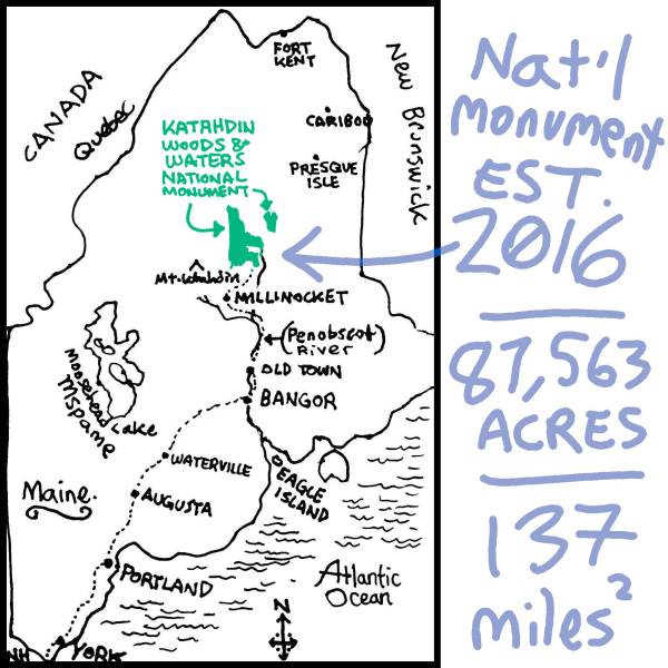

👈Note stuck to inside back cover of my sketchbook… Very official, very certified!
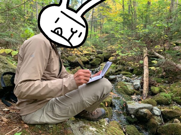
When I signed on as the official artist of this hiking expedition, I didn’t know what to expect! I planned to sketch every day, no matter what happened… Here are some results:


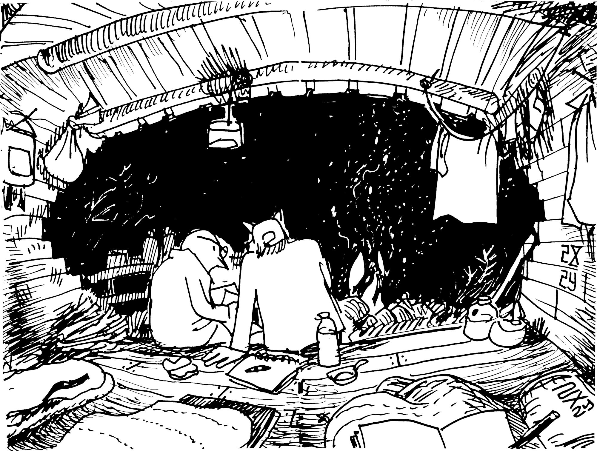
DAY 3-4-5: Spring Brook Hut & Western Lookout
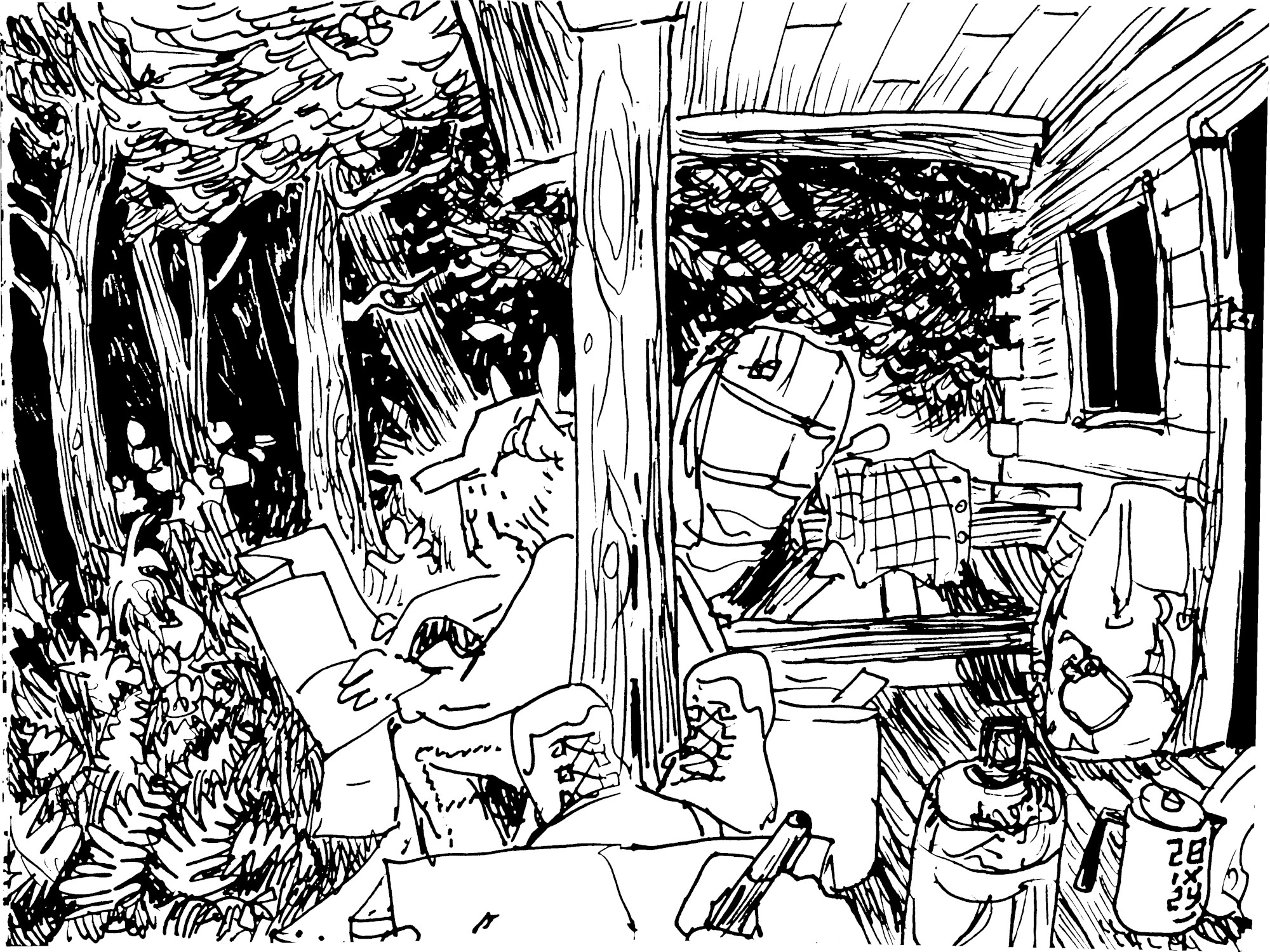


👉 The sun sets through a corner of the old-growth Hemlock nursery — Ancient trees nurture new growth in boot-deep moss beds.


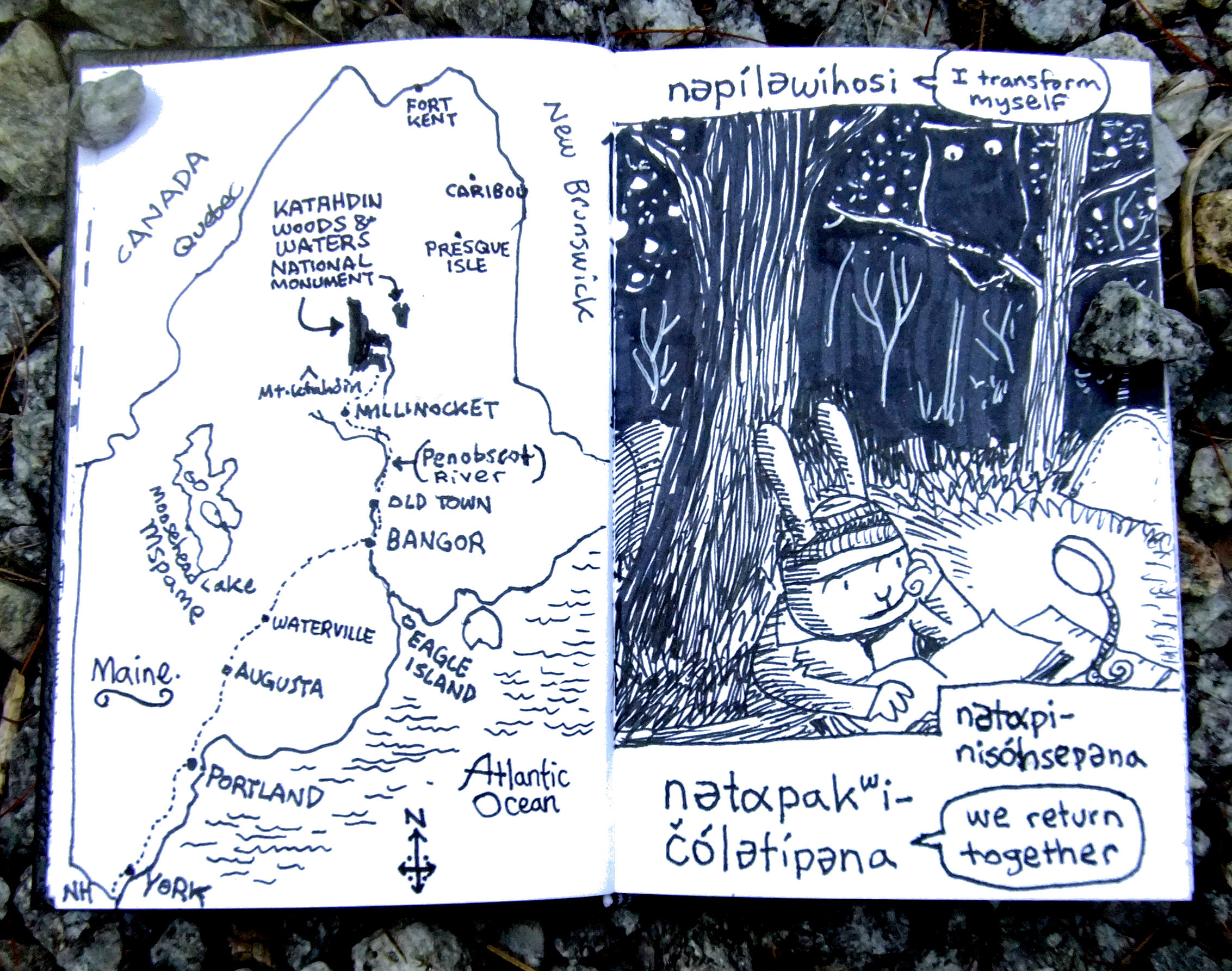
👈 Sitting up late under the bright Milky Way & shooting stars — KWW is the deepest, darkest Night Sky Sanctuary in New England!
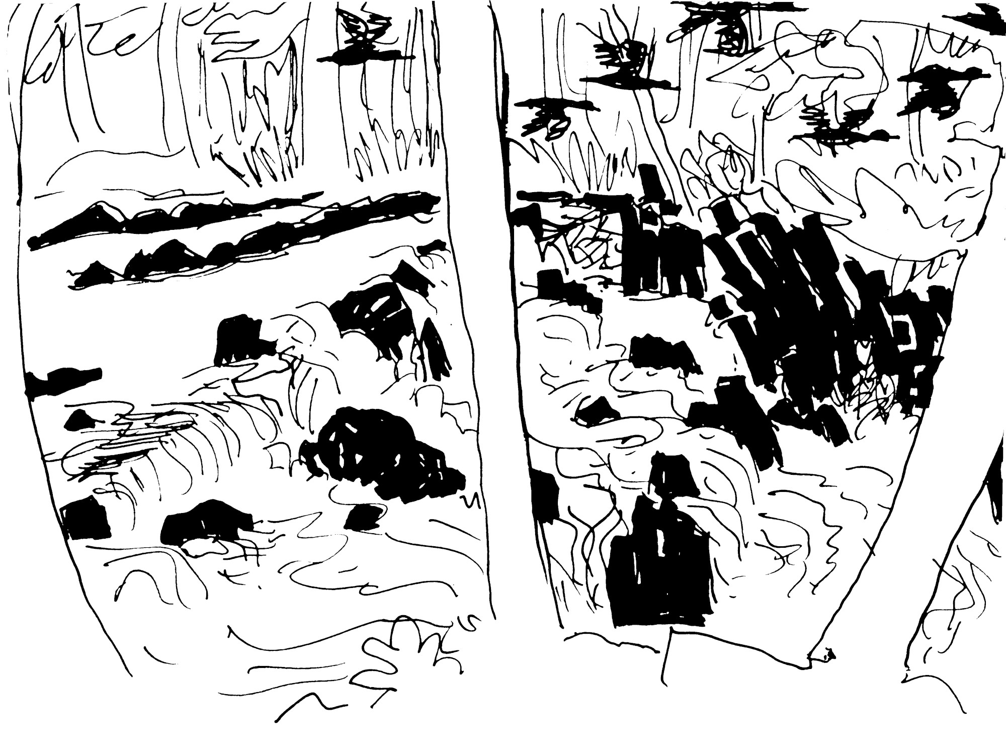
DAY 5-6-7: Lunksoos Mountain


NOTES & MORE SKETCHBOOK PAGES 👉


SEE ALSO:
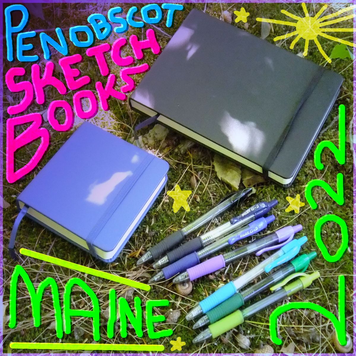
Penobscot Sketchbooks / Summer 2022
Drawn on the islands / Maine, USA
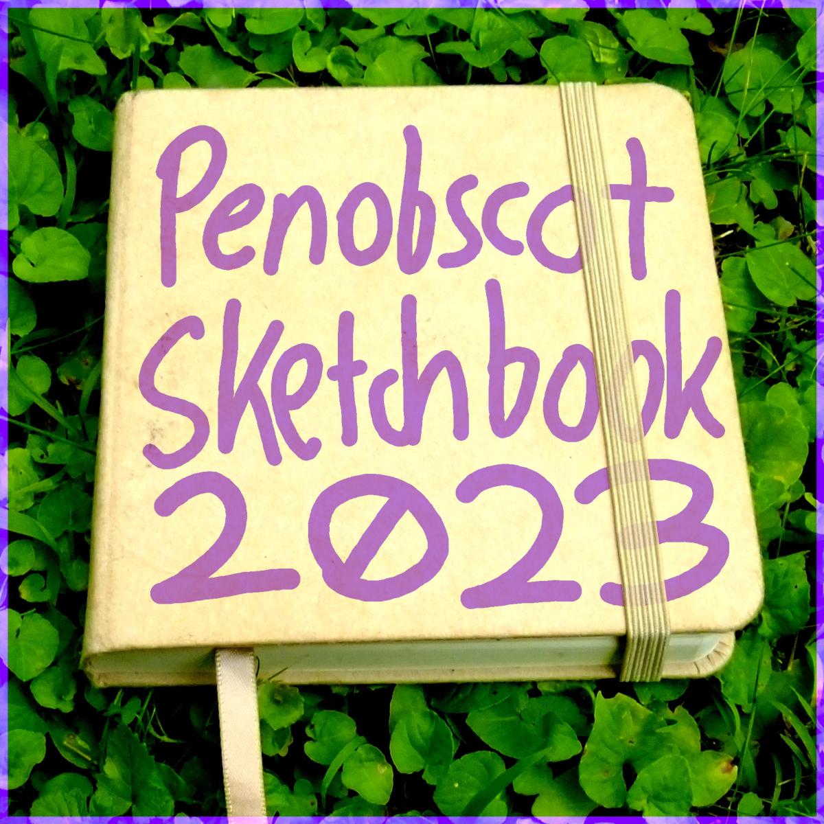
Penobscot Sketchbook 🦞 July 2023
Off the grid + out in the bay / Maine, USA
Penobscot Sketchbook 🌊 July 2024
Daily drawings at Penobscot Bay (Maine, USA) with a felt-tip pen & a 4″x6″ pocket sketchbook…

Maine Sketchbook 🍂 (Fall 2025)
Trailside sketches from an unofficial artist residency in the Maine woods…
Discover more from http://www.MarekBennett.com
Subscribe to get the latest posts sent to your email.
